Logierait to Dunkeld Loop
Cycling Route
Starting in Logierait, cycle along the banks of the River Tay through spectacular woodland before reaching the picturesque village of Dunkeld.
From here, discover the village’s impressive collection of historical sites before heading back to Logierait along the Regional Route 83. To view PDF, visit: wherever.ly/to/logieraittodunkeld
What you'll see
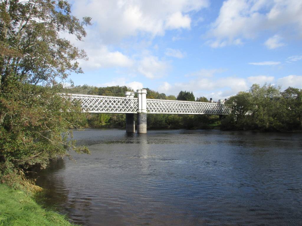
Logierait Bridge
Logierait Bridge is situated near the ancient village of Logierait in Highland Perthshire, spanning across the River Tay.
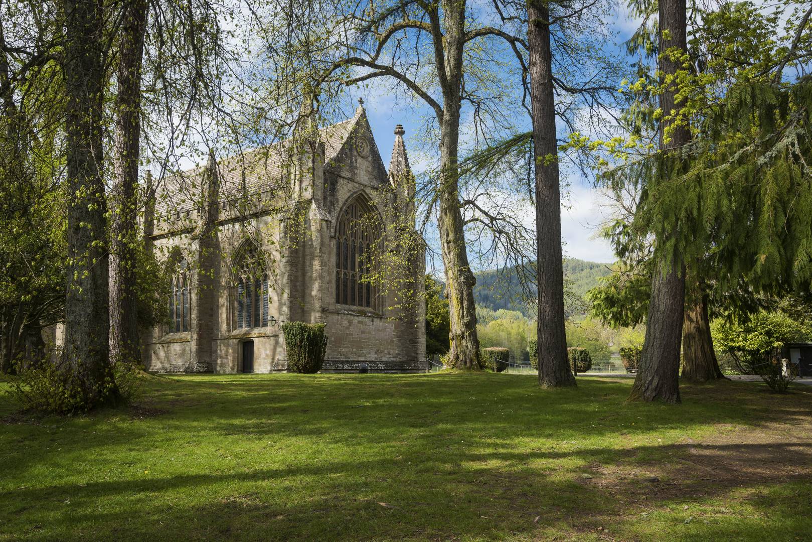
Dunkeld Cathedral
Wander among the ruins of Scotland's most romantic cathedral, set at an ancient ecclesiastical centre A truly historic must see!
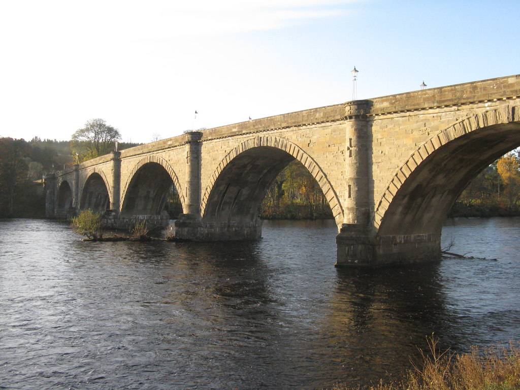
Dunkeld Bridge
A gothic style, seven arch bridge that crosses the River Tay and connects the villages of Dunkeld and Little Dunkeld.
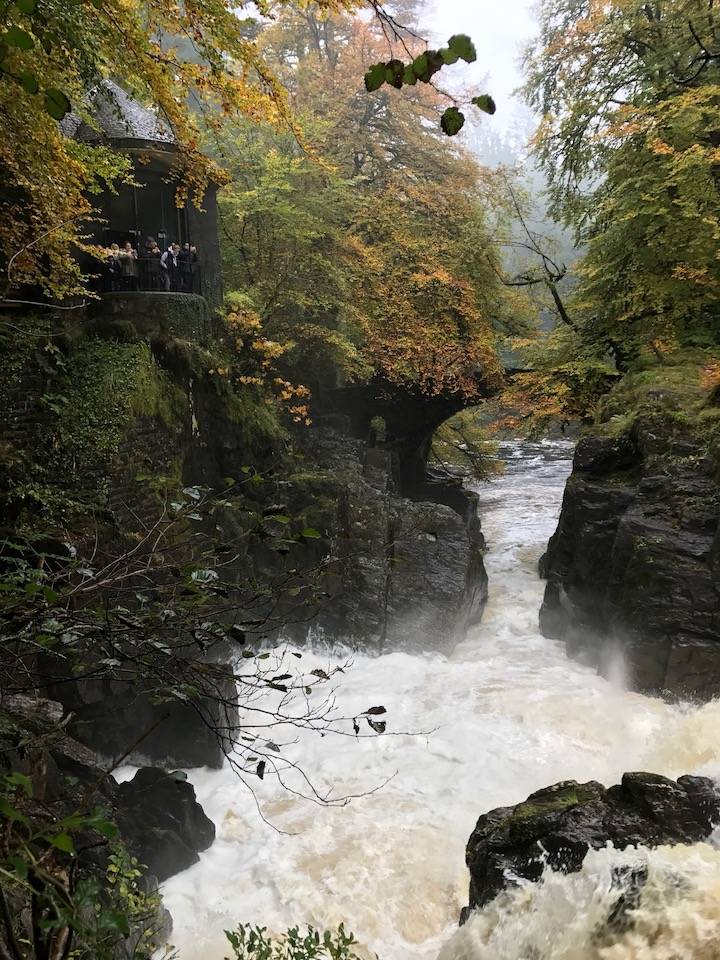
The Hermitage and Ossian's Hall of Mirrors
A must visit! There are a number of walks following the river with breathtaking views. Don't miss Ossian's Hall or Cave